
Finding Who Lives Along a Poway Street
Finding a person from a Poway street address starts with a parcel, not a claim that every name at that location is public. PowGIS can turn a site address, road, owner name, or APN into a highlighted parcel. County property records add assessed values and maps. A recorded deed identifies parties to a land instrument. A permit identifies people tied to a project. Each result has a role and date. The practical street directory workflow is therefore a chain of address, parcel, title, project, and historical household evidence.
- Enter the address in the PowGIS parcel viewer. Capture the highlighted parcel, APN, owner field when shown, legal description, and any map or zoning context.
- Confirm the parcel in ParcelQuest Lite with the address or APN. Note the situs, assessed values, characteristics, and map rather than treating a tax field as a household list.
- Carry the APN, legal description, or current owner into the San Diego County recorder search. Search the deed chain by party, date, document type, or kiosk APN route, then record the grantor, grantee, recording date, and document number.
- Use voter information only through California My Voter Status for the requester’s own record or through an approved San Diego County file process. California does not provide an open street-by-street voter browse.
- Ask the Poway Library or San Diego History Center about a reverse or criss-cross volume. If a dated listing exists, compare its road, number, and occupant notation with the parcel and deed trail.
The order matters. A modern street string can change as rural land is split or a road gains a new course. The APN and legal description give the street directory a stable anchor, while a dated directory or census schedule supplies a separate clue about household presence.
Poway Records Searchable by Address
Poway’s address record chain crosses city and county offices. PowGIS supplies the parcel view and map context. The county assessor supplies parcel characteristics and assessed values through ParcelQuest Lite, with ownership help available by phone or kiosk. The Assessor/Recorder/County Clerk holds title instruments and historical indexes. Poway Development Services holds later permit and code material. Historical directories, census schedules, and voter records answer different questions and carry different limits.
| Address Record | Custodian | Useful Evidence | Access Channel |
|---|---|---|---|
| PowGIS parcel view | City of Poway | Site address, APN, owner query, zoning, district, drawings, aerial history | Free web viewer, map selection, CSV, mailing labels |
| Assessor parcel roll | San Diego County Assessor | APN, situs, characteristics, assessed values, maps, owner help | ParcelQuest Lite, phone, public kiosk |
| Deeds and recorded instruments | ARCC Recorder | Grantor, grantee, legal land, document number, recording date | Web index, kiosk, in-person help, copy order |
| Permits and code files | Poway Development Services | Project address, owner or applicant, work description, dates, contractor | Online portal, counter, narrow CPRA request |
| Voter information | California SOS and San Diego ROV | Self registration status or approved-purpose data | Self lookup or mailed/in-person application |
| Directories and household history | Library, History Center, archives | Dated address and occupant clues, census and local-history context | Catalog, reference desk, onsite or digital collection |
The chain is strongest when each source keeps its proper role. A parcel ties a map to a legal lot. A deed ties named parties to that land. A permit ties named participants to a project. A directory or census entry can place a household at a date. No single row should be relabeled as a complete Poway street directory.
PowGIS Shapes a Poway Street-Level Search
PowGIS is the most useful first stop for a street directory because it supports both address entry and map-based selection. A general search accepts a property owner, road name, parcel number, street address, or intersection. The result highlights a feature, offers Zoom To, and expands descriptive information. For a whole stretch of road, a line, rectangle, circle, current map window, or polygon can select nearby parcels. That is a local quirk worth using when house numbers are unclear or a road has several lots.
The PowGIS search instructions describe the advanced query controls. Choose Parcels as the selectable layer, set the field and operator, add a value, then choose New Selection, Add to, or Remove from. Results can be exported to CSV or mailing labels. The export is a selected parcel or mailing-address set, not a verified list of every person at each location.
A captured view of the PowGIS address and parcel viewer shows the map context that makes an address search useful.
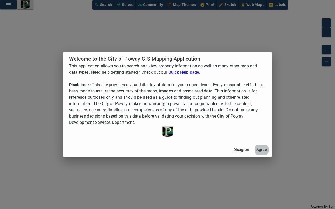
The map can connect the selected parcel to council district, zoning, setbacks, lot coverage, engineering drawings, and aerial image history. Those layers help explain a road’s form and a parcel’s development, while the address record remains a starting point for further checking.
These are the documented PowGIS controls for an advanced parcel query:
| All Fields or layer | Dropdown for the searchable layer; Parcels is the advanced default. |
|---|---|
| Search | Text or autocomplete for an owner, road, APN, or street address. |
| Site Address | Field choice with address autocomplete. |
| Search Field | Advanced dropdown; Owner Name is the parcel default, with zoning and council district examples. |
| Operator | Dropdown such as Contains or is equal to, plus query operators shown by the portal. |
| Value and Add | Text value; Add creates a clause in a multi-part query. |
| Selection mode | Radio choice for New Selection, Add to, or Remove from. |
| Map selection | Point, line, polygon, rectangle, circle, current window, or all features. |
| Results and tools | Search, Add, Zoom To, Clear, CSV export, and mailing labels. |
Poway Owner and Parcel Fields
ParcelQuest Lite complements PowGIS with county assessment detail. The documented result inventory includes APN, situs or location, assessed land, improvement and total values, property characteristics, parcel maps, sales listings, and historical tax information. The county’s public explanation allows 25 searches in any 30-day period without charge; additional searches or reports may require a subscription. Ownership and address information can also be requested by telephone, and public kiosks show more complete property information when the web presentation is limited.
The City of Poway online maps description shows how parcel reports, zoning, drawings, and aerial history fit beside the county roll.
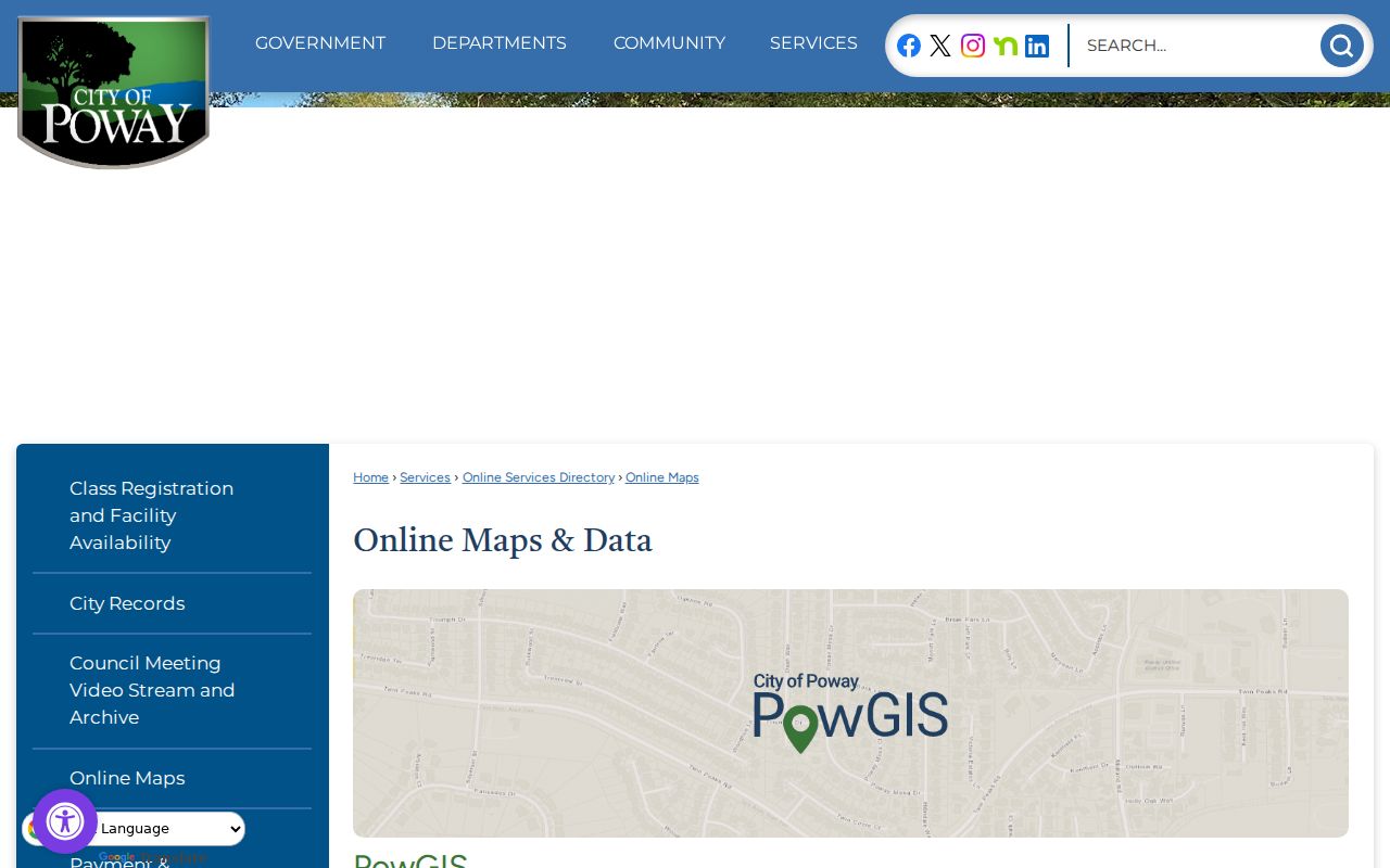
Use the owner field as an ownership clue, not a declaration about everyone who uses the address. A trust, agent, mailing preference, or recent move can place a different name on the correspondence line. PowGIS can expose an owner name in a query, but neither its parcel report nor the county roll is a complete Poway street directory.
Insider tip. When web owner results are constrained, call the San Diego County Assessor Public Information line at 619-236-3771 or use a county kiosk with the APN in hand.
Mailing and Situs in Poway Records
A situs address is the physical location of the parcel. A mailing address is where the owner or agency sends tax and assessment correspondence. They can match, but a difference may reflect an owner who lives elsewhere, a trustee or agent, a post office box, a mailing preference, or a recent transfer. The distinction matters in a street directory because a mailing line can point away from the street being studied.
Compare the situs, the map geometry, and the legal description before drawing a conclusion. An owner-occupied exemption can be consistent with qualifying occupancy, but it does not prove that every person at the parcel is part of that household. Conversely, a different mailing address does not by itself disprove a connection to the property. Record the exact role shown: owner of record, mailing addressee, permit applicant, or historical listed occupant.
Poway’s major roads and subdivision history also make a modern number less durable than a lot or tract reference. No official comprehensive Poway renumbering schedule was located. PowGIS and county parcel maps can show how parcels relate to roads and districts. If a street name or number does not line up with an older source, keep the legal description and APN in the worksheet instead of forcing an exact match.
Deeds Along a Poway Street
The San Diego County Assessor/Recorder/County Clerk, or ARCC, keeps the land instruments that turn a parcel clue into a title trail. Start with the current owner, APN, or legal description. In the recorder index, a grantor is the party conveying or releasing an interest, while a grantee receives the interest. Documented query labels include Party Name, Document Type, Recording Date From and To, Document Number, Book and Page, and Search or Clear. APN search is the kiosk route after the 2024 change.
The county’s property-records access route explains how ownership information, maps, characteristics, values, phone help, and kiosk access fit together. A deed can show grantor, grantee, legal description, recording request and return addresses, transfer-tax information, signature, acknowledgment, recording stamp, and document number. A deed does not establish who was present at the property on the date of the search.
A useful process is current APN or owner → acquisition deed → seller’s earlier role as grantee → prior deed → recorded map or subdivision reference. The ARCC Official Records search can supply index and copy routes, while the public kiosk is important for older and APN-based work. Keep document dates and party roles separate from any household inference.
A view of the county property-records page illustrates the official access route for the parcel and ownership portion of a Poway street directory. The county's Grant Deed instructions help orient the form fields and recording details that should be compared with the official index.
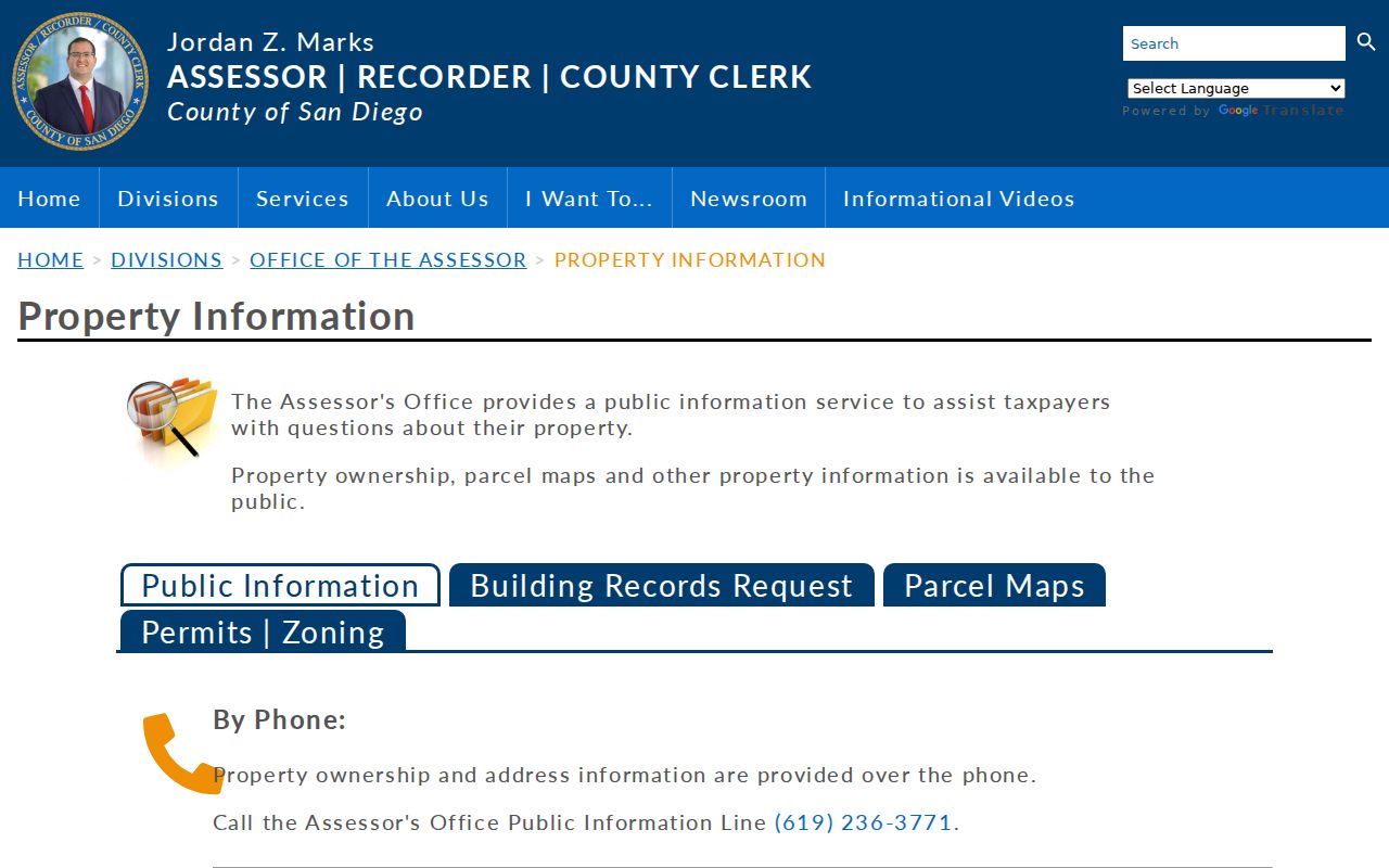
The image points to the custodian, not a substitute list of residents. For older property, county maps from 1854 forward and deed groups dating to 1845 can bridge a farm-era tract, a subdivision, or a road whose house number did not stay fixed.
AB 1785 Changed APN Access
One timely change reshaped the street directory workflow. Effective December 9, 2024, Assembly Bill 1785 removed APN search from the ARCC web Official Record Search. APN searching remains available at in-person kiosks in the county’s five ARCC offices. The change does not remove the parcel identifier from the record chain. It changes where the parcel-to-document bridge must be made.
Practical sequence. Obtain the APN and legal description in PowGIS or ParcelQuest Lite, then take those details to an ARCC kiosk or use a party-name and deed-date search when the web index is the better route.
Historical groups remain important. The kiosk and archives descriptions reach deeds from 1845-1930, grantor and grantee indexes from 1846-1969, a numeric index from 1872-1973, and historical Official Records from 1931-1989. The exact public-web start date is not published. That makes a clean note of the portal used, the date searched, and the record identifier essential.
County Archives at 10144 Mission Gorge Road in Santee can answer archival-series questions at archives@sdcounty.ca.gov or 619-237-0502. Older land material may require an onsite or copy-order route rather than a modern address search.
Permits Add Names to Address History
Poway Development Services adds a different kind of address evidence. A building permit application can identify the project address, date, work description, owner, applicant, architect, engineer, designer, contractor, license details, contact information, and declarations. The named person is connected to a construction or improvement role. That can date a change to a parcel and explain an aerial image, but it does not establish a full household.
Electronic permit submittal has been mandatory since June 1, 2022. Poway city permits begin after incorporation on December 1, 1980; earlier permitting functions were county-held. Building Services, inspections, Code Compliance, and Planning keep distinct functions at City Hall. The Development Services route provides online and counter contacts. Ask for an existing file by exact address, APN, permit number, or date interval, and ask separately for final or inspection records when the portal summary is not enough.
When an online record does not answer a narrow address question, use the Poway CPRA request form. Its fields include requester contact details, a records narrative, an optional attachment, an emailed-copy choice, and submission controls. The city states a status notification within 10 days. Standard paper duplication is $0.10 per side, with postage and copying collected before mailing. A focused request names the record type, address or APN, approximate years, and department.
Complaint identities and sensitive plan material can be withheld or redacted. A city file can show a project owner, applicant, designer, or contractor. It should be labeled by that role in the record.
Reverse Directories Need a Poway Shelf Check
A reverse or criss-cross directory is the historical tool most likely to answer an address-first question with a named occupant. Its street section can pair a house number with a listed name, telephone, business, or a note such as vacant. The result is dated and selective. It may omit rural delivery, use an older road name, or reflect a publication gap. Exact Poway reverse-directory years and publishers were not verified in an official online catalog, so no local run should be assumed.
Poway Library, at 13137 Poway Road, can search the shared San Diego County Library catalog and request materials. Reference contact is 858-513-2900 or powaylibrary@sdcounty.ca.gov. Published hours are Monday 10-6, Tuesday and Wednesday 12-7, Thursday 10-6, and Friday through Sunday 10-5. Ask for title, publisher, year, address section, onsite-only rules, and whether a road is indexed under Poway or a regional locality.
The library’s SDCL Digital History collection adds photographs, maps, documents, and oral histories. For the broader method, the Poway directory book material keeps the regional San Diego City and County collection question separate from the current parcel chain. A good search records alternate spellings, road names, first and last appearance, and the difference between a listed occupant and an owner.
Why Voter Data Is Not a Street List
California My Voter Status is an authenticated person’s own-record tool, not a public Poway street directory. Typical identity fields include first name, last name, California driver license or ID information, and date of birth. The result can confirm registration status, party preference, address on file, precinct or district, and election information to the requester. It does not authorize a third party to browse a road for names.
Government Code §7924.000 protects home street address, phone, email, precinct and registration identifiers, prior registration, driver-license or state-ID data, Social Security numbers, and signatures, subject to Elections Code §2194 access. The California My Voter Status lookup is the proper self-check route. An authorized data applicant must return the San Diego County Registrar of Voters application with an original signature, a detailed permitted purpose, and a security plan. Email and fax applications are not accepted.
Street-list myth. A Poway road cannot be entered into an open voter portal to reveal everyone registered there. Use parcel, permit, deed, and consensual community sources for a lawful address study.
DMV personal data is restricted by the federal Driver’s Privacy Protection Act, and utility customer names are not a substitute directory. Those limits are part of the answer when a street search produces a parcel but not a complete household record.
What a Poway Street Directory Cannot Show
A Poway street directory can organize public parcel, deed, permit, and dated historical clues. It cannot promise a current list of every person at an address. Private household details, protected voter addresses, utility and delivery accounts, and confidential Safe at Home locations remain outside ordinary public browsing. A record gap can also reflect a rural omission, an older jurisdiction, an address change, or a source that was never indexed.
- Parcel
- A mapped unit of land identified by an APN. It can anchor a street search without proving who uses the property.
- Situs address
- The physical location tied to the parcel, distinct from an owner’s mailing address.
- Plat
- A recorded map that shows a subdivision, lot, tract, or boundary arrangement and can connect older land to a later street.
- Criss-cross directory
- A reverse directory arranged by street and number, with a dated listed occupant or telephone clue when a regional volume includes the address.
For family history, property curiosity, or a civic records question, state the conclusion narrowly: owner of record, permit applicant, mailing addressee, court party, or historical listed occupant. That wording keeps the Poway street directory accurate and gives the next researcher a clear source to verify.
Lawful use. Poway address records are for personal, lawful research. Using public information to stalk, harass, intimidate, or harm another person is prohibited.