
Poway's Previous Residents Source Map
A backward address search needs a source map before it needs a name search. Deeds establish transfers of title and legal land. Directories and census schedules add household clues. Maps, permits, and aerials explain why an old address may not match the present street string. The table separates those record roles and keeps the years tied to the actual San Diego County and Poway custodians.
| Source | Years It Covers | Where Held | What It Shows |
|---|---|---|---|
| PowGIS and assessor parcel roll | Current parcel context | PowGIS, ParcelQuest Lite, county phone or kiosk help | APN, situs, owner or mailing clues, maps, values, characteristics |
| County deeds | 1845-1930 kiosk run | ARCC kiosks and County Archives | Grantor, grantee, legal land, recording date, document trail |
| Grantor and grantee indexes | 1846-1969 | ARCC public kiosks | Party-to-document links for working backward |
| Historic Official Records | 1931-1989 | ARCC historic kiosk group | Deeds, liens, releases, notices, and related instruments |
| County maps and aerial history | 1854-present; aerial years vary by live gallery | Archives, Recorder, and PowGIS | Parcel, subdivision, boundary, and land-change clues |
| San Diego City and County directories | Exact Poway run not verified | History Center and library catalog or onsite collections | Listed households, addresses, and occupations |
| Federal census | 1790-1950 public nationally | National Archives and library databases | Household members at a dated census visit |
| Poway permits and city records | After December 1, 1980 | Poway Development Services and City Clerk | Project address, owner or applicant, work, and dates |
Use the newest parcel evidence to set the starting point, then choose the oldest source that fits the question. A house built after subdivision growth needs a tract map and first deed. A farm-era parcel may require a metes-and-bounds description, a road clue, and county books rather than a house number. An occupant question needs a directory or census, not a deed alone.
Poway Parcels Begin Previous Residents Research
PowGIS is the cleanest address-to-land starting point. Its site-address search accepts a street address, while its broader queries can use a property owner, road name, parcel number, or intersection. The result can highlight a parcel, open descriptive information, and connect the address to an APN. Advanced parcel work supports an owner-name search field, operators such as Contains or is equal to, multiple clauses, and selection by point, line, polygon, rectangle, circle, current map window, or all features.
The PowGIS viewer can export selected public descriptions to CSV or mailing labels. Those exports must be labeled as parcel or mailing information, not a complete resident list. County ParcelQuest Lite adds APN, situs, property characteristics, assessed values, and maps. The county disclosure permits up to 25 searches in a 30-day period without charge, while further searches or reports may require a subscription. County staff can also provide ownership and address help by phone, and public kiosks show broader property information.
Start by saving the site address, APN, owner or mailing clue, legal description, map, and the date of the search. A mailing address can belong to an agent, trust, or another property. It is not the same as the physical situs and does not prove who lived there.
That parcel record becomes the fixed key for the deed chain, even when the street label later changes.
Previous Residents in Poway Deed Chains
A deed chain follows title parties, not every person who occupied a house. The San Diego County ARCC Official Records search begins with a party name when known. Select a role, narrow a recording date range and document type, then record the document number or book and page. A deed may show grantor, grantee, legal description, recording and return-mail addresses, a documentary-transfer-tax declaration, signatures, and acknowledgment.
- Use PowGIS or ParcelQuest to capture the current APN, owner clue, situs, and legal description.
- Find the current acquisition deed and record the grantor, grantee, recording date, and document number.
- Search the seller as a prior grantee, because that party may have acquired the land in the earlier transfer.
- Repeat the party search backward, checking the legal description whenever the address or road name shifts.
- Move to an ARCC kiosk or County Archives inquiry for the older books and index years that are not convenient online.
- Grantor
- The party giving, selling, releasing, or transferring an interest in recorded land.
- Grantee
- The party receiving or benefiting from the recorded transfer or release.
- Chain of title
- The linked sequence of recorded transfers that connects a current title interest to earlier parties.
- Legal description
- The lot, tract, map, or metes-and-bounds wording that identifies the land more durably than a street address.
Use the deed image or official copy to confirm the index. The county's Grant Deed instructions provide a useful orientation to the transfer form, but they do not replace the recorded instrument. An index hit is a pointer. It is not the whole instrument and cannot by itself establish who lived at the property.
Poway Deeds Reach Back to 1845
One useful number: the county kiosk run reaches deeds from 1845-1930, while grantor and grantee indexes reach 1846-1969. Historic Official Records cover 1931-1989, and maps run from 1854 to the present. These dates make the county trail unusually deep for a Poway house history, but they do not mean every image is online or every title question can be answered from a single screen.
County Archives is at 10144 Mission Gorge Road, Santee, California 92071. The research contact is archives@sdcounty.ca.gov and 619-237-0502. The archive describes county government collections from 1850 to the present, while the dated property groups reach earlier. Historic births and deaths run 1849-1986, mostly 1860-1956, and marriages run 1856-2020, mostly 1873-1956. Historic vital originals remain closed, with copies ordered through ARCC.
The County Archives house-history route shows the physical research channel behind the date ranges.
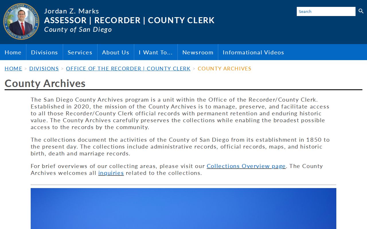
The archive image reinforces the need to log the record group, date span, and access mode before drawing a conclusion about previous residents.
Access note. County-held dates are not the same as web availability. Kiosk, reading-room, telephone, copy-order, and records-request routes may each answer a different part of the address history.
Poway Kiosks After AB 1785
On December 9, 2024, Assembly Bill 1785 removed APN searching from the ARCC web Official Record Search. APN indexing still survives at five in-person ARCC office kiosks. The change affects the order of work: identify the APN and legal land in PowGIS or ParcelQuest first, then use a kiosk for the parcel-to-document bridge. A party-name search remains useful when a grantor, grantee, or document number is already known.
Recorder search fields can include Party Name, a grantor or grantee or all-party role, Document Type, Recording Date From and To, Document Number, Book and Page, and Search or Clear. Document types can include deeds, deeds of trust, reconveyances, liens, releases, notices, maps, and other recorded instruments. The exhaustive live dropdown and exact web coverage start were not published in the research, so record the fields actually used.
The ARCC recording guidance is the source for the current APN-search change and recording route.
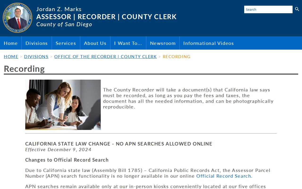
The recording image belongs beside the workflow because it marks a real access change, not a break in the underlying county record chain.
When a kiosk visit is not practical, ARCC staff can be reached through the Recorder and Clerk contact route, and a copy can be ordered from the official index. Keep the search date, name role, date range, and document number in the house-history log.
Poway Address Changes Need Land Records
No official comprehensive Poway renumbering schedule was located. Rural routes, parcel subdivision, and road evolution can change an address without changing the underlying land. A modern street string may therefore fail to retrieve a farm-era transfer. The durable bridge is an APN, recorded map, legal description, and historic aerial rather than a simple text match.
For a subdivision-era house, look for the tract or parcel map and the first builder deed. For an older farm parcel, expect boundary splits, metes-and-bounds language, and a road name that does not match today's label. PowGIS supplies parcel geometry, engineering drawings, and aerial image history. County maps from 1854-present can add the subdivision or boundary layer.
The Sanborn gap belongs in the source log too. The Library of Congress collection was searched, but no Poway-specific sheet or year was verified. Use the PowGIS historical aerial route with county maps and historic-property evaluations, and check the Library of Congress Sanborn collection without treating a missing result as proof of nonexistence.
Address continuity is a research question. It should be proved by land and map evidence before a directory entry is attached to the current house.
Poway Previous Residents and Census Years
Previous residents are often occupants rather than title holders. The 1950 census is the latest fully public decennial census as of 2026 under the 72-year rule. Before incorporation, Poway entries may sit in an enumeration district or unincorporated-place schedule, so a modern city filter can miss them. Pair a regional directory clue with the census year closest to it, then compare household details without pretending the two records were made on the same date.
The directory run itself remains unverified, but the research method is sound when a volume is opened. Capture the exact spelling, spouse clue, road, house number, and occupation. Then use the census to add relationship, age, birthplace, and household structure. A directory absence may reflect omitted rural delivery, a move, death, or an unlisted person.
The National Archives census framework helps set the release and geography context. The regional collection details and entry-reading method are kept with the Poway city directory collections, so the historical shelf is not confused with the deed chain.
- Anchor the modern parcel and then write the old address or locality exactly as the source gives it.
- Choose the closest directory and census years, allowing for a rural or unincorporated-place search.
- Compare names, ages, relationships, birthplace, occupation, road, and nearby households.
- Check the next and prior source before treating a first or last appearance as a move.
- Use an obituary, vital copy, probate file, or later deed when a household trail needs an endpoint.
Poway Previous Residents and Permit Dates
City permits add construction and remodel dates to a previous-resident search, but they do not make a complete occupant roll. Poway city permits begin after incorporation, and electronic permit submittal has been mandatory since June 1, 2022. A building application can contain a project address, date, work description, property owner, applicant, architect, designer, contractor, license details, and related contact fields. Those names help date an address and connect a project party to the property.
For older or narrowly described city records, use the City Clerk's public-records route. The Poway CPRA form accepts requester contact fields, a records-request narrative, an attachment, and an optional emailed-copy choice. The form states that status is notified within 10 days. Standard paper duplication is $0.10 per side, with postage and copying collected before mailing. Ask for a date range and address, and keep personal details out of a broad request when a narrow record will do.
The Poway public-records request form provides the documented request channel.
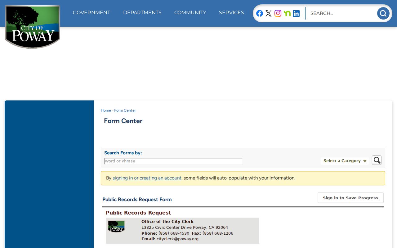
The request-form image shows why a precise address, record type, and date range make a later house-history response easier to evaluate.
Permits can reveal who pulled work records, but they do not prove that the named applicant lived at the address. Compare the permit with the deed, directory, or census layer.
Poway Previous Residents: Directories and Obituaries
Criss-cross or reverse directories can place a listed occupant at a house number, while the census can show a household at a dated visit. The exact Poway reverse-directory years are not officially cataloged online, so ask the Poway Library and San Diego History Center Research Archives before claiming a run. When an opened volume supplies a name, copy its abbreviation key and page citation before moving to an obituary or property file.
Obituaries, cemetery material, and probate can close a trail when a person leaves an address or an estate changes hands. Dearborn Memorial Park began in 1886 and holds pioneer burials, but no official city-run interment lookup was found. Historical-society or cemetery material should be corroborated with a certificate, obituary, marker, deed, or probate file. Superior Court probate records can explain an estate or name heirs when the assessor roll cannot.
That evidence can reconnect an heir to a Poway property trail without treating one clue as a full household list. The strongest endpoint usually combines death or obituary evidence with a deed, legal description, and date.
Lawful house history. Previous-resident research is appropriate for family history, estate work, and personal curiosity. Do not use a record trail to stalk, harass, or track a living person.
Poway's 1980 Records Fork
December 1, 1980 is the key archive fork. Earlier election, permit, and community material generally belongs with San Diego County because Poway was not yet an incorporated city. Later city-created permits, business certificates, council files, code records, and GIS begin with Poway. Title, assessment, vital records, voter registration, court cases, and jail records remain county or state responsibilities across the fork.
The local history behind an address also changes shape over time. An 1880s agricultural valley, late-1950s subdivision growth, the 1971 creation of Lake Poway, and later city files each add a different kind of clue. A city directory search is strongest when the record's date and geography are read before the name is matched.
- 1845 onward: county deed and map holdings provide the land chronology.
- Late 1950s: subdivision growth creates denser tract and address evidence.
- December 1, 1980: incorporation shifts city-created records to Poway.
- June 1, 2022: electronic permit submittal becomes mandatory for Poway applications.
- December 9, 2024: APN searching leaves the ARCC web index but remains at county kiosks.
That timeline keeps a present parcel connected to the right custodian and prevents a current city assumption from erasing the county record trail that came first.