
Poway Neighbors: Block Sources
Looking up Poway neighbors is a parcel question first. The public record can show the shape and address of nearby lots, the owner or mailing clue attached to a parcel, work performed at an address, and the civic geography around it. It cannot create a complete list of people who share a block. Use the source that matches the question, then keep the result's role clear.
| Source | What It Shows About a Block | Access |
|---|---|---|
| PowGIS parcel viewer | Adjacent parcel geometry, searchable public attributes, zoning, drawings, and aerial context | Free interactive map |
| Assessor and ParcelQuest Lite | APN, situs, owner or mailing clue, assessed values, characteristics, and maps | Limited web access; phone or county kiosk |
| Deeds and official records | Recorded parties, legal land description, document dates, and title history | ARCC index, kiosks, copies, and archives |
| Permits and code records | Address work, project owner or applicant, contractors, dates, and selected plans | Poway portal, counter, or narrow request |
| District and planning maps | Council, landscape-maintenance, zoning, and community geography | Public city maps and PowGIS layers |
| Voter data and voluntary groups | Own registration or approved-purpose data; a group may publish its own contact information | Restricted voter route; voluntary publication only |
An owner name is not a household list. Mailing and situs addresses can differ, a trust or agent can receive correspondence, and a multiunit parcel can contain people absent from the owner field. A permit party may be an applicant, designer, contractor, or owner for one project. A district map describes territory. Those limits do not make the records useless; they tell you what a Poway neighbor search can honestly say.
Note: Label a block result as a parcel, owner, mailing address, project party, or civic boundary rather than calling every record a neighbor.
Poway Neighbor Parcel Selection
Start with one known street address in PowGIS. The map can search a site address, owner name, road name, parcel number, or intersection. Set the Selectable Layer to Parcels, which is the default parcel layer in the advanced workflow. The goal is to identify the immediate lots before deciding whether a broader street or district question is needed.
- Search the target address and let the result highlight the parcel. Expand its descriptive information and use Zoom To so the map scale is clear.
- Choose a point for one parcel, a rectangle or circle for the nearest lots, a line across a frontage, or Current Map Window for the visible block. Polygon and All Features are available for broader selections.
- Record the APN, site address, owner field, mailing clue, zoning, and council district separately. Do not turn a mailing label into a claim about everyone at the property.
- Open each selected result, compare the parcel with the county roll or assessor phone and kiosk route, and note which fields are public attributes rather than resident evidence.
- Export only the selected public descriptive results as CSV or mailing labels when useful. For a whole named street and its record chain, use the Poway street directory workflow instead of treating a block selection as a street list.
The process is address to parcel, parcel to nearby geometry, nearby geometry to public owner or project evidence, and only then to a careful question about the block. This keeps a map result from becoming an unsupported identity claim.
Poway Neighbors and PowGIS Shapes
PowGIS has more selection control than a simple address lookup. In advanced mode, choose the searchable layer, select a field such as Owner Name, choose an operator such as Contains or is equal to, enter a value, and use Add to build a clause. The selection mode can start a New Selection, Add to an existing set, or Remove features. Search and Clear keep the query readable.
Shape tools make a neighbor search precise. A point checks one parcel. A line can cross a street frontage. A polygon can follow an irregular area. A rectangle or circle can approximate the nearest block or radius, while Current Map Window limits the result to what is visible. Results can be expanded one at a time, moved with Zoom To, and exported as CSV or mailing labels. The output is a selected set of parcels and public attributes, not a verified roll of household members.
PowGIS also displays parcel reports, zoning and specific plans, setbacks and lot coverage, engineering drawings, street-sweeping information, and aerial image history. Those layers can explain why two adjacent lots have different shapes or why an address trail changed after subdivision. They cannot supply DMV, utility, delivery, confidential voter, or protected-address data.
Note: A circle or current-window selection defines a map area, not a legal list of people; save the shape and query terms with any export.
Poway Neighbor Permit Records
City permit and development records add a dated project layer to a Poway neighbor lookup. Poway Development Services routes building, planning, inspection, and code questions. Building Services can be reached at 858-668-4645, inspections at 858-668-4646, Code Compliance at 858-668-4660, and Planning at 858-668-4610 or 858-668-4659. Counter hours are Monday through Thursday from 7:30 a.m. to 5:30 p.m., Friday from 8 a.m. to 5 p.m., with alternate Fridays closed; Building closes from 11:30 a.m. to 12:30 p.m.
The city's official online maps and records route explains how parcel reports, zoning, drawings, and aerial history work together. Electronic permit submittal has been mandatory since June 1, 2022. A permit application can identify a project address, date, work description, property owner, applicant, architect, engineer, designer, contractor, license class, and business-license number. These are roles in a project, not proof of who occupies a nearby parcel.
The planning and development view used for a Poway address is available from the Poway permits and planning source.
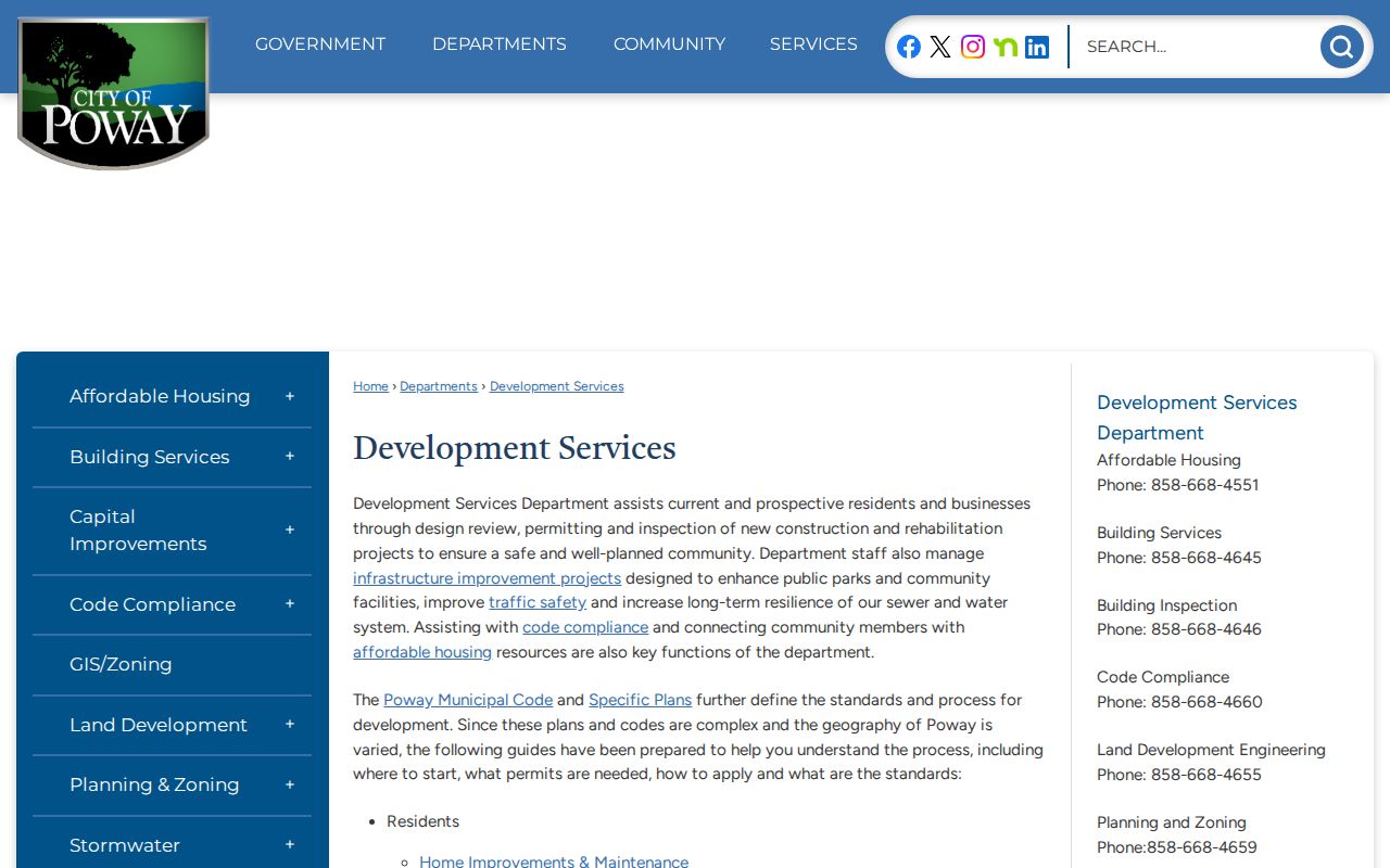
The permit and planning view helps connect a parcel to a project date, but a project participant should not be relabeled as a neighbor without separate evidence.
For searchable activity, Poway Online Services provides public searches and reports for permit, license, and other dynamic record categories. A search type or report choice may be selected with a keyword and date range. If the summary is not enough, ask for an existing file by exact address, APN, permit number, or date interval. Request plans, final inspections, and code records as separate record types when needed.
The city's permit and license search route is shown in the Poway public services search.
Online results are a starting point. A narrow City Clerk request can identify the address, APN, department, record type, and approximate years so staff can locate an existing file without being asked to create a private-person roster.
Poway Neighbor Planning Layers
PowGIS's Community Information tool accepts a map click and returns collapsible categories with printable results. Planning Information adds zoning and community context. Map layers, themes, and opacity controls let a reader compare parcels with district or planning geography without confusing the boundary with a list of residents.
These layers matter when a block sits near a plan area, a council boundary, a landscape-maintenance area, or a parcel with a different zoning description. They can explain why a nearby property appears in a different public program. They do not identify private association members, household relationships, or a person's daily presence.
Use the layer name and map date in notes. A result that changes after a map refresh should be checked against the city or county custodian, especially when the question concerns a boundary rather than a parcel attribute.
Poway HOA Records and Neighbors
No official citywide Poway HOA or neighborhood-association member directory was found. A private association may publish leadership or a contact point, but membership, household lists, and internal block-watch or club rosters are not public simply because the organization has a name. For a real association question, trace the entity and its recorded land rules instead of assuming a civic map is a member list.
| Route | What It Can Show | Boundary |
|---|---|---|
| Recorded CC&Rs | Covenants, conditions, restrictions, and property-related rules | Rules and recorded land documents, not a member roster |
| Secretary of State entity record | Entity name, status, agent, and filing address when available | Organization contact, not every household |
| Management contact | A published route for association questions | Use only when the association or manager affirmatively publishes it |
| Voluntary community group | Public event, leadership, or contact information | Participation cannot be inferred from an address |
Poway business and home-occupation records may add a public project or business connection at an address. They can include an applicant, business or mailing address, phone or email, activity and equipment, and a dwelling-percentage description, with personal fields subject to redaction. The record supports an activity or permit role, not a claim about the block's private members.
The city's business-registration route is available through the Poway Business Registration source.
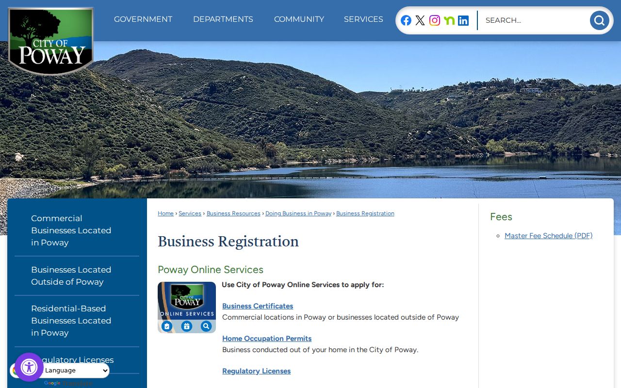
Use a city certificate, a state entity record, or a recorded CC&R for the question it can answer. None creates an official list of Poway neighbors.
Poway District Records, Not Rosters
Poway City Council Districts 1-4 describe civic geography, not the people who live in each district. The maintained 2022 district map became effective March 17, 2022. PowGIS can pair that boundary with parcels, but the district line does not disclose a household list or a private association directory.
The Landscape Maintenance District Advisory Group is another example of a public geography or advisory structure rather than an open block roster. Its existence can help explain a map layer or service area. It should not be used to infer who belongs to a parcel, attends a meeting, or lives next door.
Note: A council district, landscape-maintenance area, zoning layer, or postal label can overlap a block without defining its neighbors.
Poway Voter Lookup Limits
California My Voter Status verifies the requester's own registration, not the neighbors around an address. It can confirm status, party preference, address on file, precinct or district, and election information after identity fields are supplied. Participation history shows an election in which a voter participated, never the voter's ballot choice.
Government Code section 7924.000 protects home street address, phone, email, precinct and registration identifiers, prior registration, driver-license or state-ID information, unique identifiers, and signature except for authorized access under Elections Code section 2194. An approved recipient of a voter file must explain the purpose, scope, geography, delivery, and security plan. The San Diego Registrar of Voters application requires an original signature and does not accept email or fax submissions.
A block lookup should therefore use public parcels, permits, and district geography, plus voluntary community contact, rather than trying to rebuild a voter list. Aggregate district maps can describe civic context without exposing individual registration fields.
Poway Neighbor Tools Compared
Official sources and commercial neighbor-lookup tools answer different questions. A paid compilation may be quick, but it can merge people, carry old addresses, omit protected records, or attach a person to the wrong parcel. A government source may take more work, yet it gives a named custodian, a record role, and a path for correction.
| Source type | Useful evidence | Hard boundary |
|---|---|---|
| PowGIS and assessor | Parcel, APN, owner or mailing clue, map and assessed property data | Does not prove every occupant or household member |
| Permits and city records | Project party, address, work, date, license or report information | Role is tied to a record or project, not private daily presence |
| Commercial category | Possible compiled address or name lead | Accuracy, source date, correction, and lawful-use limits vary |
| Voluntary association contact | Published leadership, event, or community route | Cannot infer membership or participation from proximity |
Use a commercial result only as a prompt to verify at the primary custodian, and never treat a fast match as an official Poway neighbor record. The strongest block workflow preserves the source URL or office, query date, APN or document number, and the exact role shown.
Poway Records Forked in 1980
Poway incorporated on December 1, 1980. That date is a useful local story and a practical routing rule. City-created records after incorporation, including council files, permits, business certificates, code files, and GIS, start with Poway City Hall. Pre-1980 election and governmental material generally belongs to San Diego County.
Land title, assessment, vital records, voter registration, Superior Court cases, and jail records remain county or state functions even after incorporation. A neighbor search that sends every question to City Hall will miss the recorder's deed, the assessor roll, the court file, or the state voter rules. Conversely, a county request cannot supply the city's permit history or GIS layer.
Poway's rural and subdivision history also makes a modern street string less durable than an APN, legal description, recorded map, or aerial comparison. When a block looks different across records, check the jurisdiction and land identifier before assuming that a person or parcel moved.
Privacy Limits on Poway Neighbors
Some block facts are private or unreliable: non-owner occupants, household members, utility and delivery customers, complaint sources, confidential voters, and Safe at Home addresses. California Consumer Privacy Act rights can apply to covered business data, including rights to know, delete, correct, and opt out of sale or sharing, but broker deletion does not rewrite a deed, permit, court file, or voter record. Public-record correction belongs with the custodian.
California Megan's Law allows statutory name, map, or address-area searching with a misuse warning. The public registry contains only records covered by the governing rules, so it is a safety resource and not proof of everyone at a Poway property. The registry view used for that limited purpose is available from the California Megan's Law source.
The registry image shows a public safety lookup with its own statutory boundary. It should not be expanded into a general resident or neighbor directory.
Lawful personal use. Poway neighbor lookups can support getting to know a block, reconnecting, civic understanding, and personal safety awareness. Do not use parcel, permit, voter, registry, or community information to stalk, harass, threaten, or intimidate anyone.